An Emotional Atlas 
[of Silver Lake]


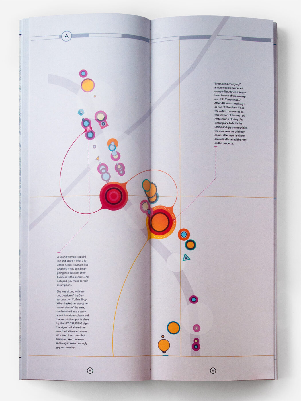
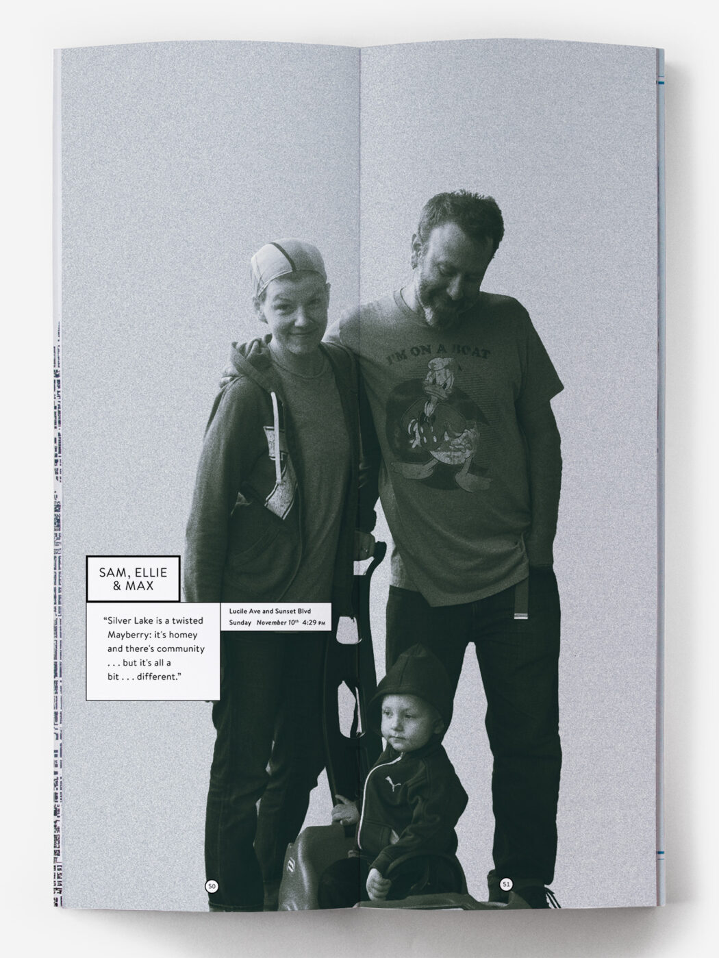
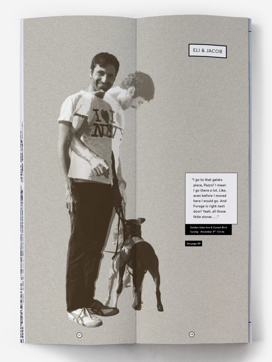
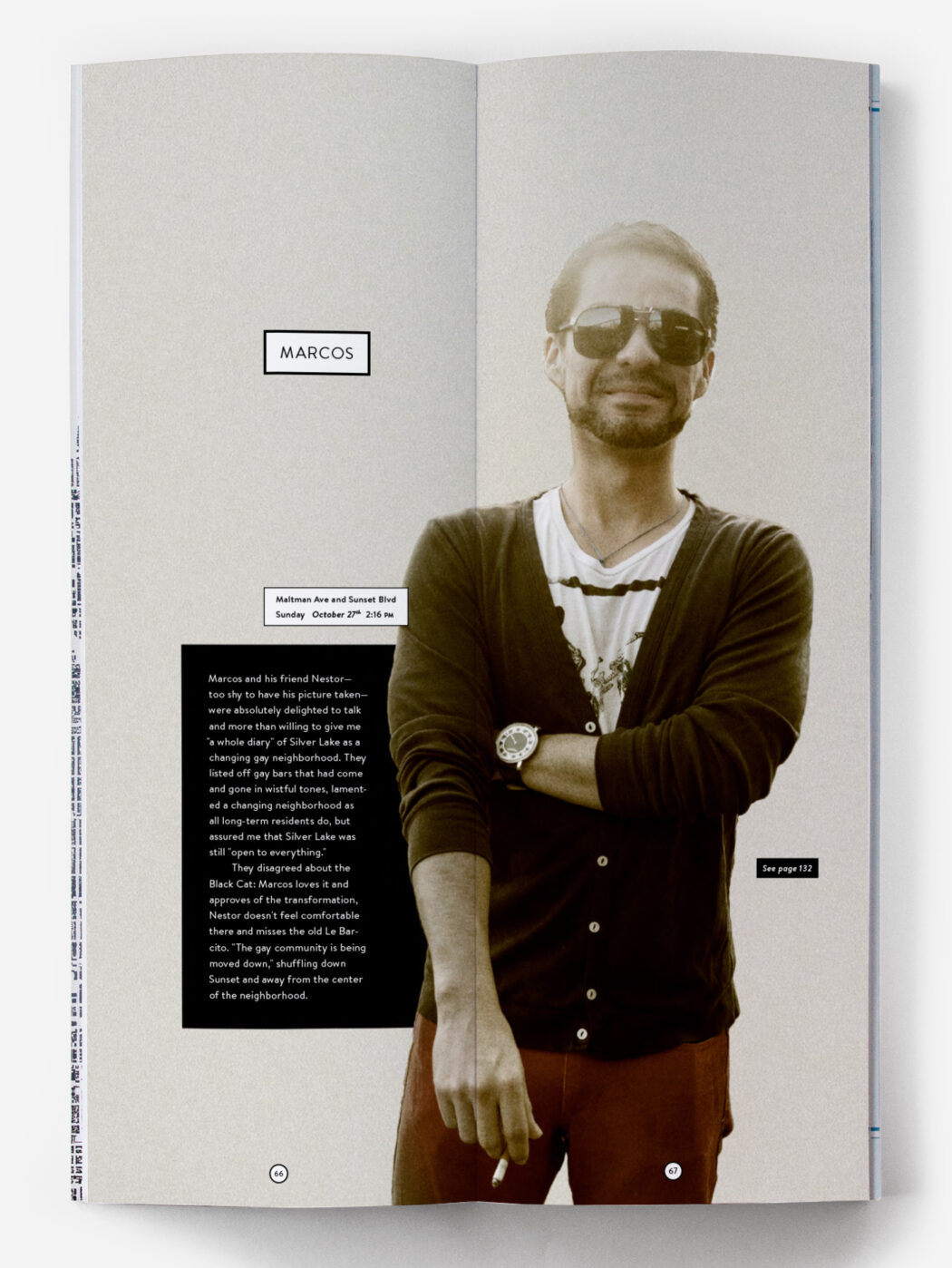
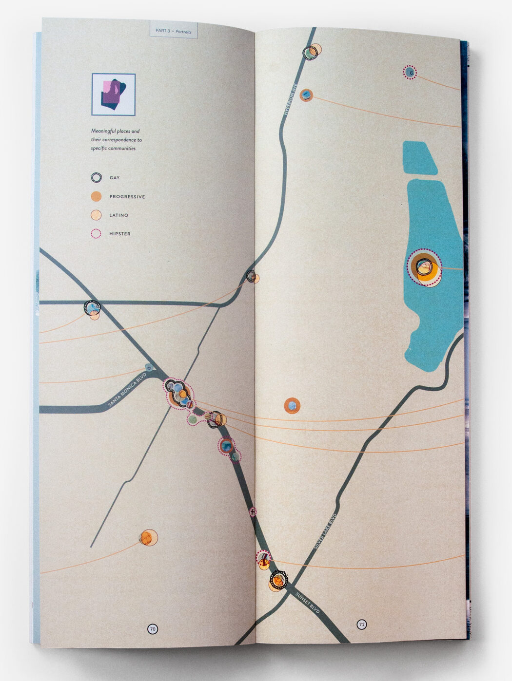
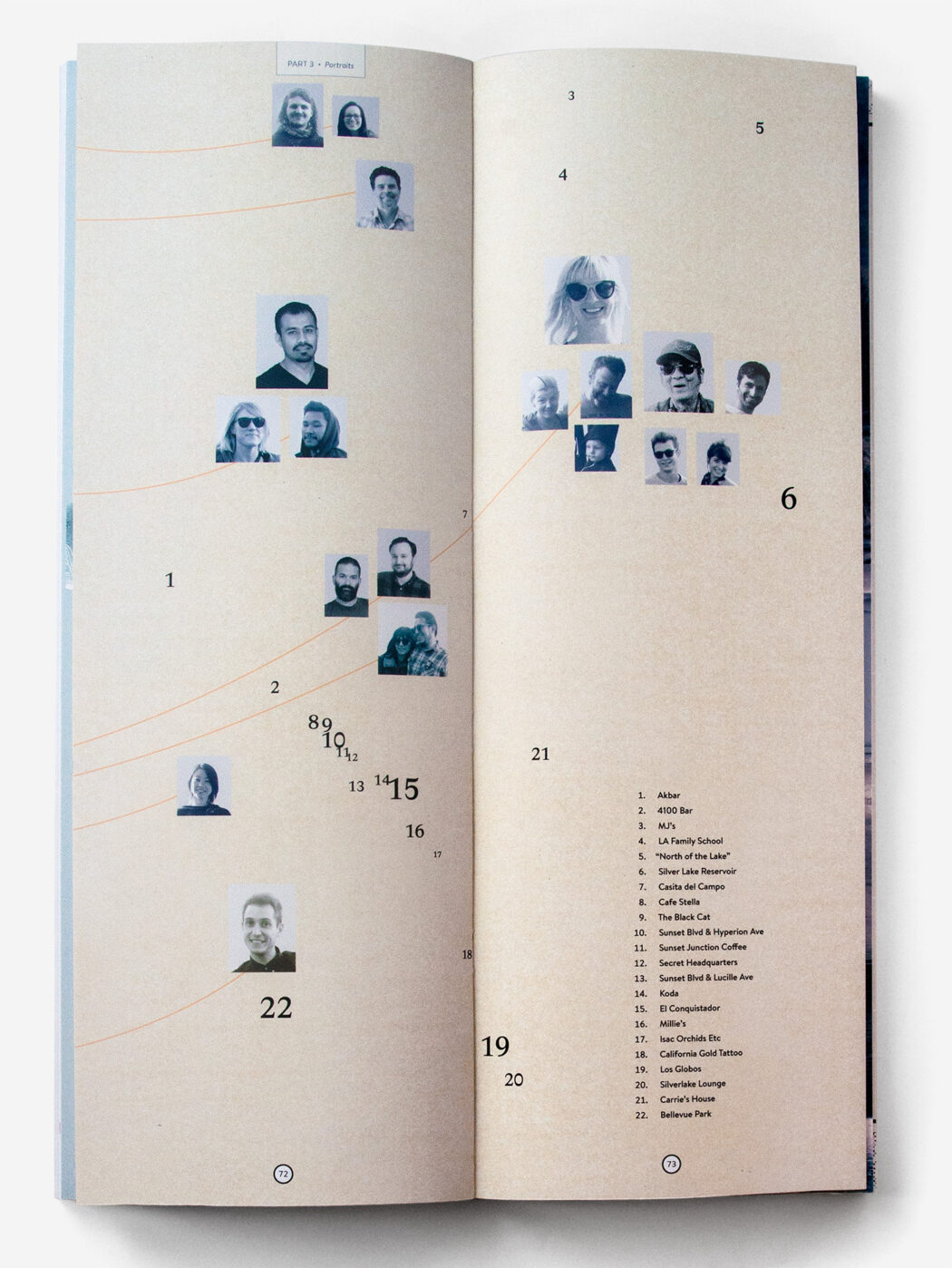
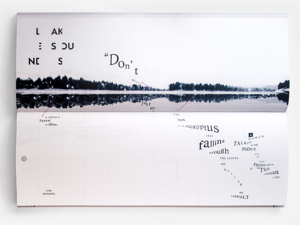
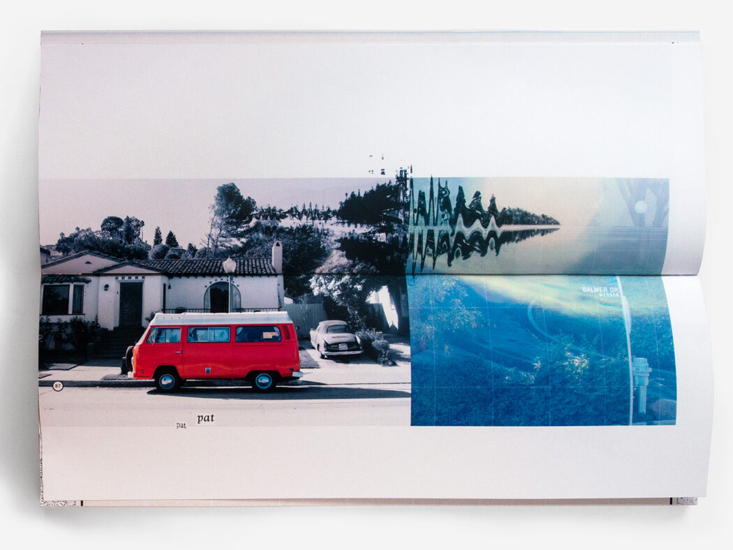
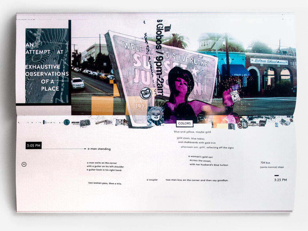
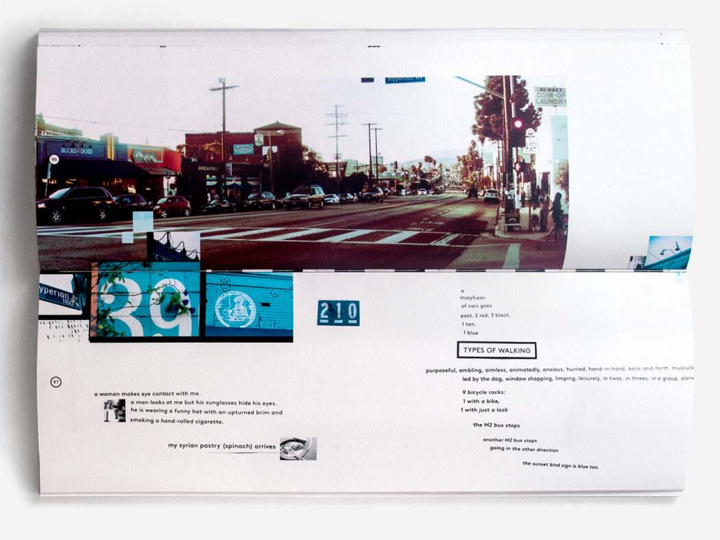
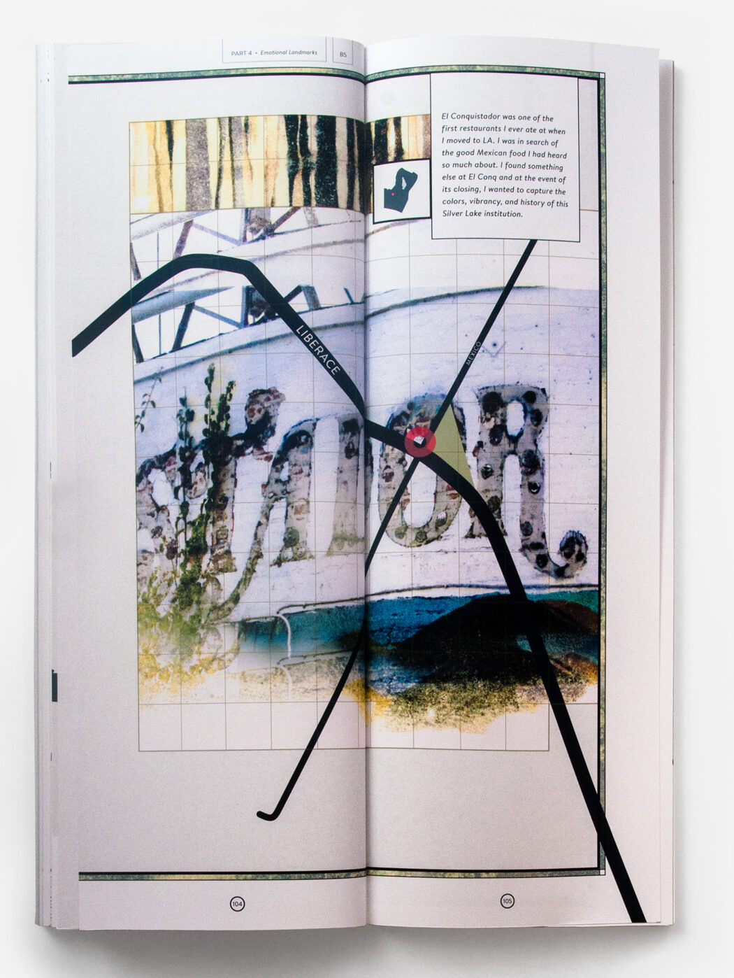
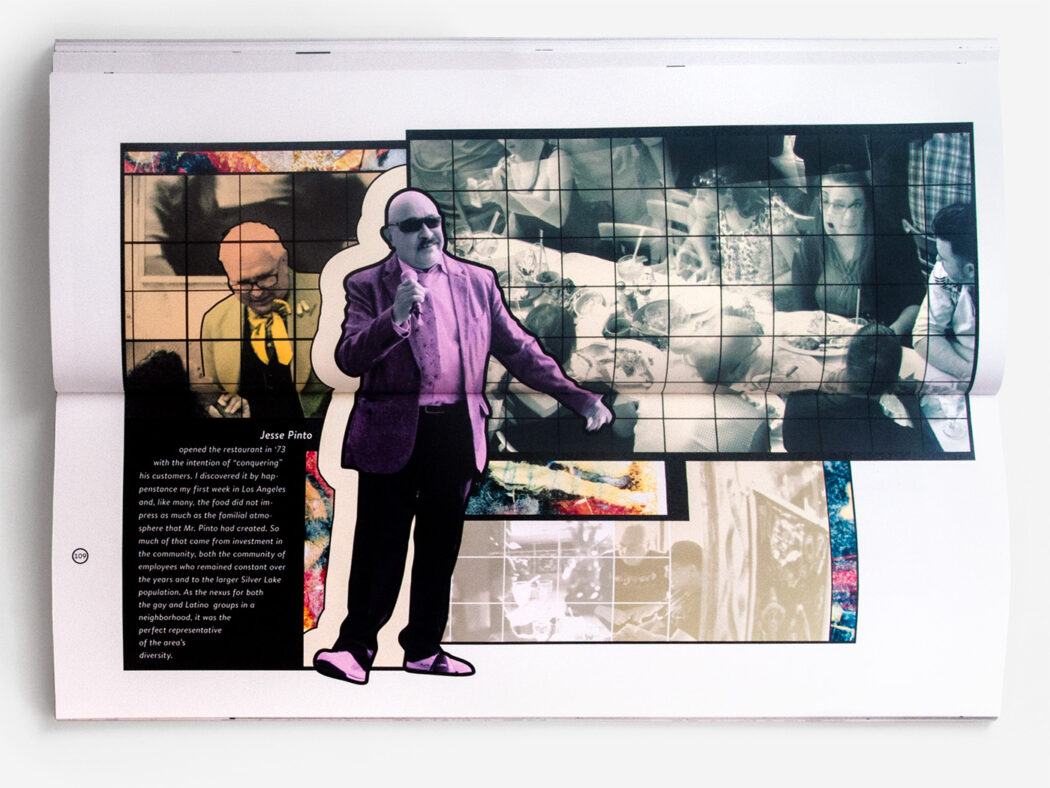
This “atlas” explores ways of mapping the intangible quality of an urban neighborhood. Applying multiple lens of denotative and subjective understanding, the book seeks to expand traditional ideas of cartography to more intimately connect us to our environment. Each section took a different visual approach to describing the experience of moving through spaces. The unusual dimensions and binding allowed for data visualization along the length of LA’s roadways and panoramic landscape views.
Thesis Book Cover

The first section of the book gave an overview of Silver Lake, often referred to as an island in the middle of Los Angeles. It covered the history as well as current descriptions and explored historic and contemporary ways of depicting areas.
Moving from the whole neighborhood down to the main commercial strip, the second section tries to understand the area through both denotative and connotative lenses. Every business was cataloged and owners were interviewed to understand how long they had worked in the area. These data were plotted in different types of mapping software to generate a set of vector images.